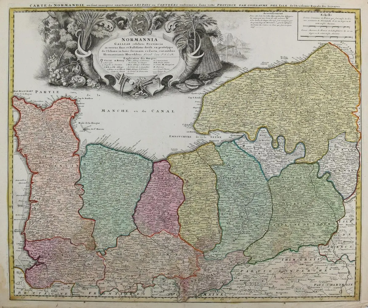
Normandia. Carte de Normandie. Stara kolorowana mapa miedziorytowa. Według Delise, u Homann Erben, ok. 1740. Rozmiar obrazu 48 x 57 cm. Plama wodna na dolnym marginesie do obrazu. Zagięcie środkowe. Lekkie ślady przechowywania i użytkowania. W zestawie: plan miasta i twierdzy Strasburg. Miedzioryt z Merian: Theatrum Europäum, ok. 1690. Montowany pod passe-partout. Ok. 29 x 35 cm. Z kolekcji Gert Nagel.
Normandie. Carte de Normandie. Altkolor. Kupferstichkarte. Nach Delise, bei Homann Erben, ca. 1740. Bildgr. 48 x 57 cm. - Am unteren Rand wasserfleckig bis in die Darstellung. Mittelfalz. Leichte Lager- u. Gebrauchssp. Dabei: Gundriß der Statt und Festung Straßburg. Kupferstich aus Merian: Theatrum Europäum, ca. 1690. Unter Passep. mont. Ca. 29 x 35 cm. - Ex-Sammlung Gert Nagel.
Tłumaczenie automatyczne. Wiążący jest niemiecki tekst sprzedawcy.
Warunki sprzedaży
O aukcji
Normandia. – Carte de Normandie
Tytuł oryginalnyNormandie. – Carte de Normandie
Oferowane przez

Podobne partie
 5 oferta
  Bez ofert
  Bez ofert
  Bez ofert